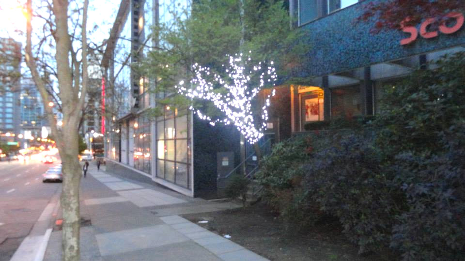
The Electra, SW side
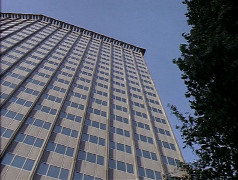
2x05: Eye For An Eye
The Electra, SW side
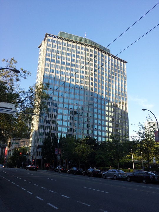
2014
The Electra, SW side
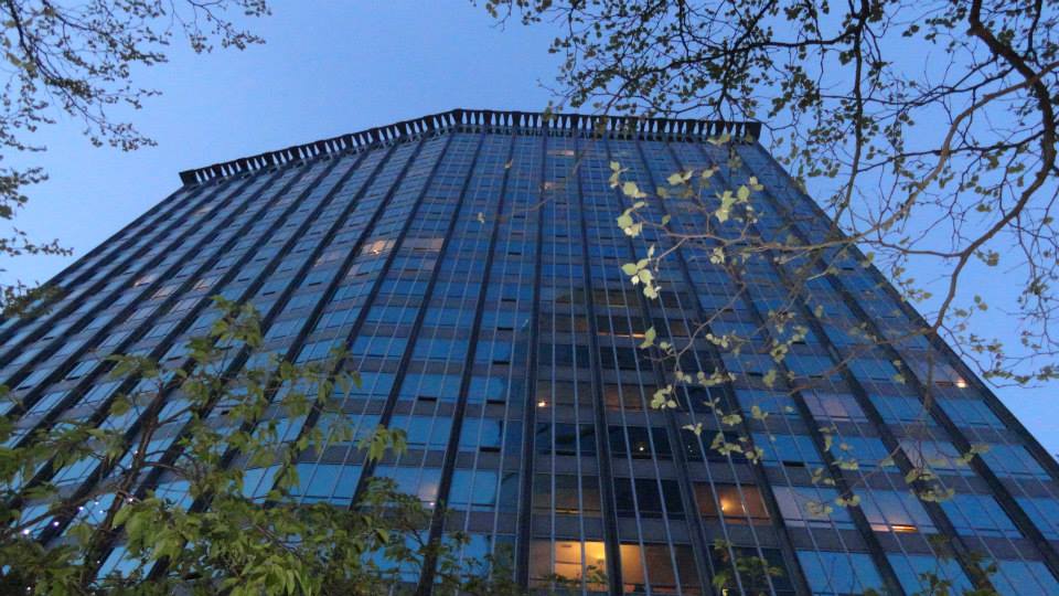
[Photo by Andy Sloane, 2014]
The Electra, SW side
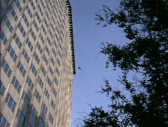
2x05: Eye For An Eye
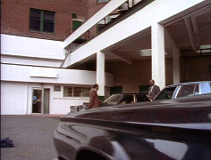
The Electra, S corner
1x03: Road Not Taken
The Electra, S corner
1x03: Road Not Taken
The Electra, S corner
1x03: Road Not Taken
The Electra, S corner
[Photo by Andy Sloane, 2014]
The Electra, S corner

2014
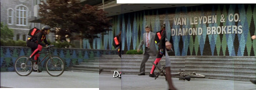
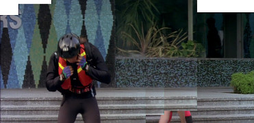
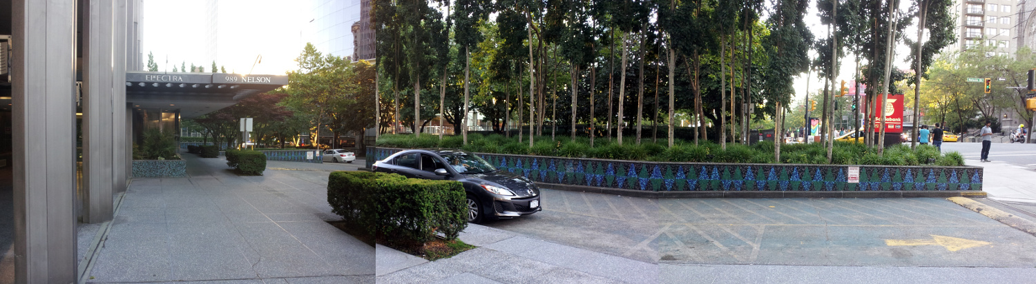
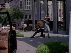
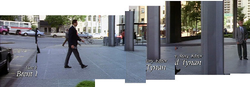
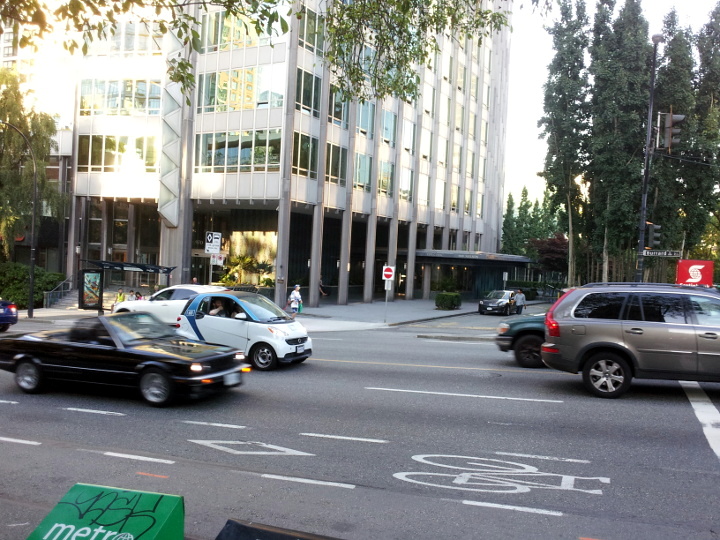
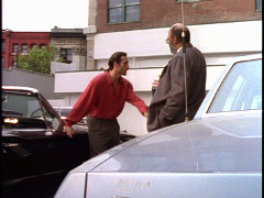
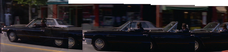
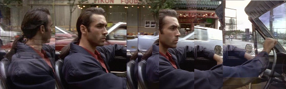
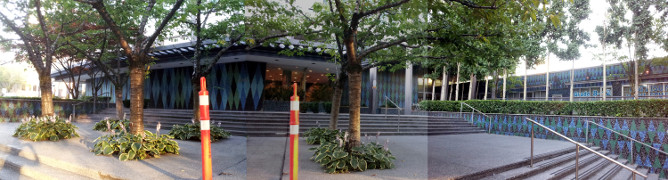
The Electra, W corner
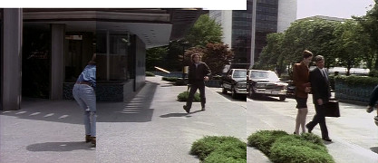
2x05: Eye For An Eye
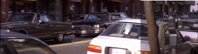
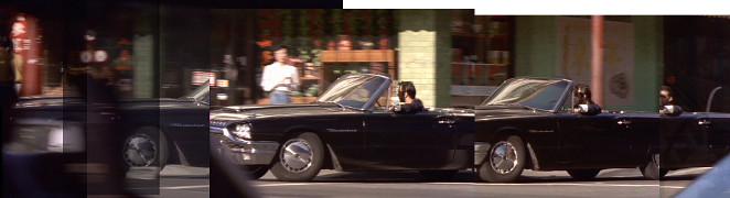
The Electra, W corner
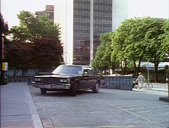
2x05: Eye For An Eye
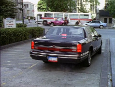
The Electra, W corner
2x05: Eye For An Eye
The Electra, W corner
2x05: Eye For An Eye
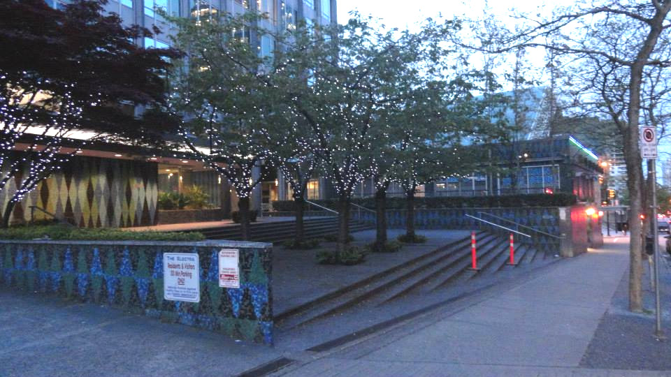
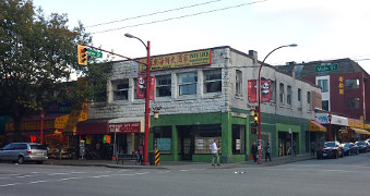
The Electra, W corner
2014
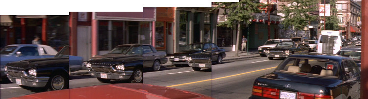
The Electra, W corner
2x05: Eye For An Eye
The Electra, W corner
2x05: Eye For An Eye
The Electra, W corner
2014
The Electra, W corner
2014
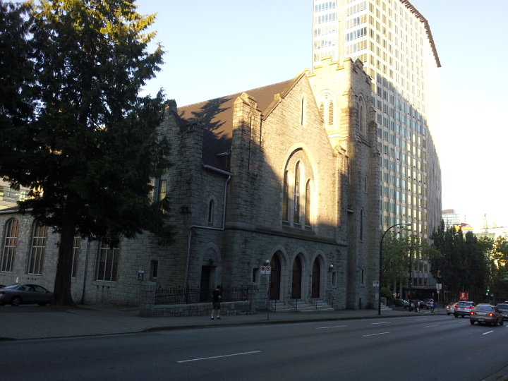
church at 969 Burrard St
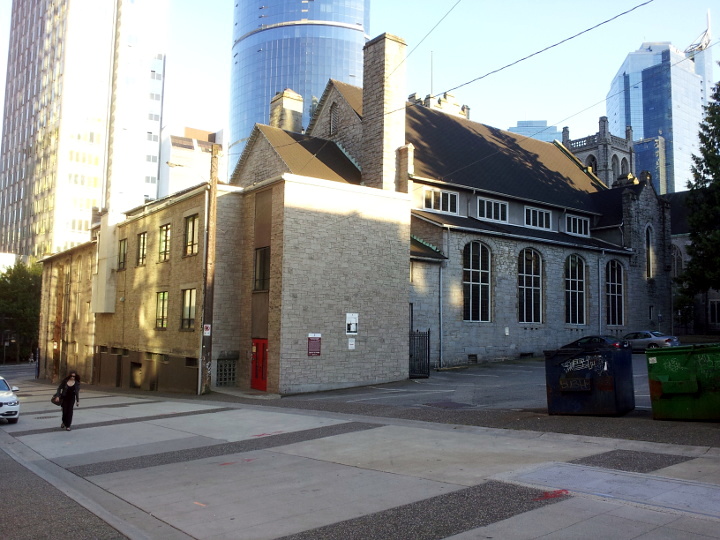
2014
church at 969 Burrard St
2014
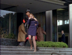
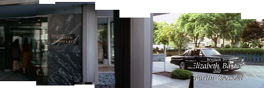
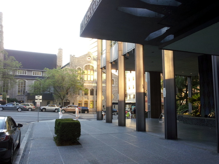
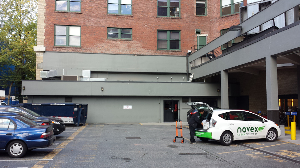
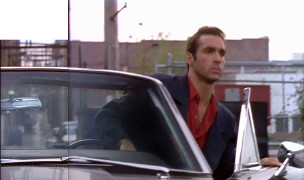
The Electra, NW side
2x05: Eye For An Eye
The Electra, NW side
[Photo by Andy Sloane, 2014]
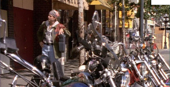
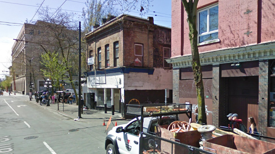
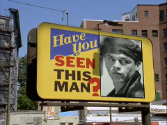
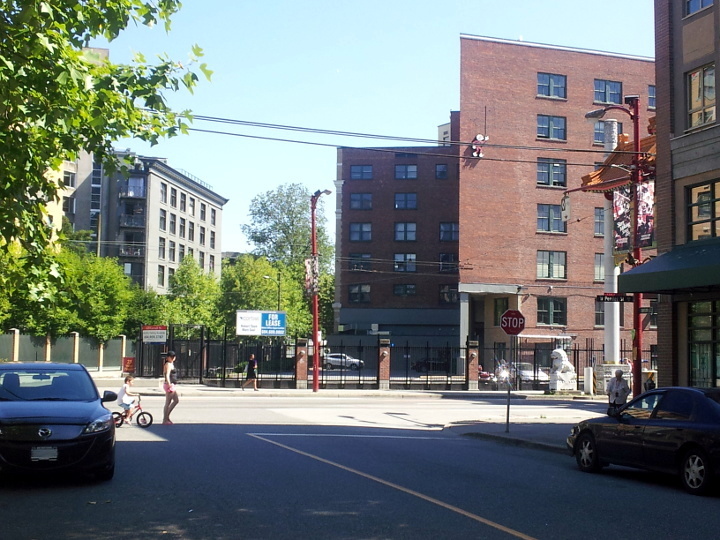
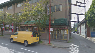
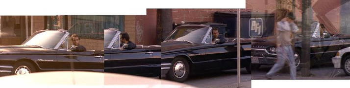
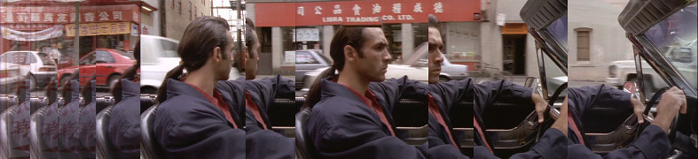
319 Carrall
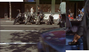
1x03: Road Not Taken
319 Carrall
1x03: Road Not Taken
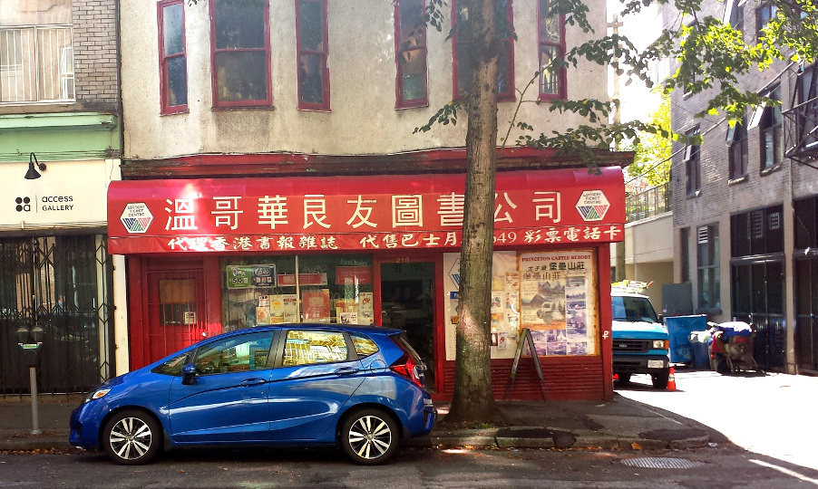
319 Carrall
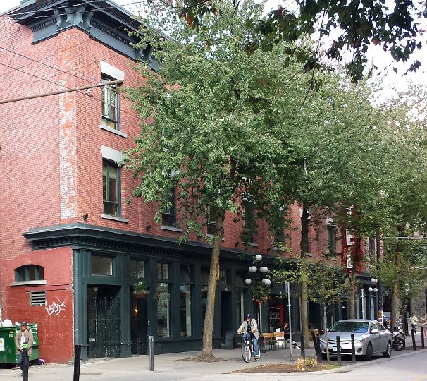
2015
319 Carrall
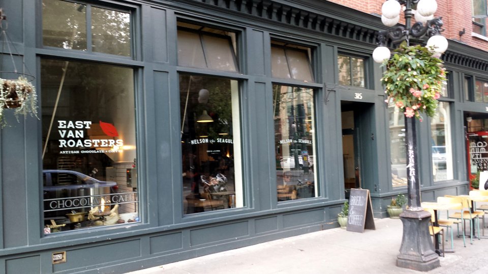
2015
319 Carrall
2x09: Run for Your Life (41b)
319 Carrall
2x09: Run for Your Life (41a)
319 Carrall
Google streetview, Apr 2009
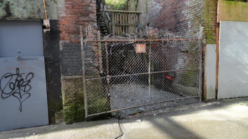
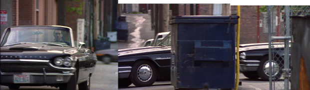
beside 319 Carrall St
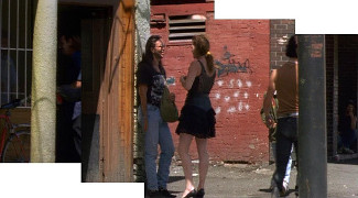
1x03: Road Not Taken
beside 319 Carrall St
1x03: Road Not Taken
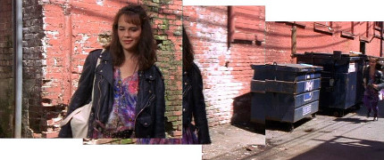
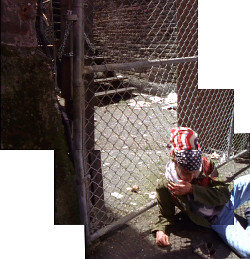
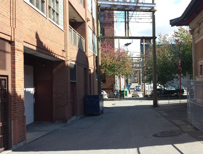
Alley (around the corner from the Hog's Bar)
2015
Alley (around the corner from the Hog's Bar)
2015
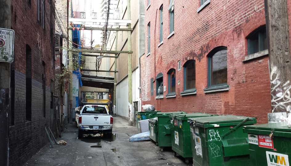
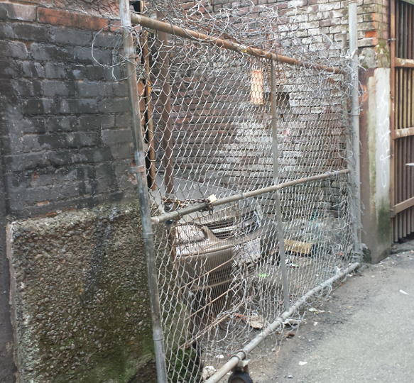
beside 319 Carrall St
1x03: Road Not Taken
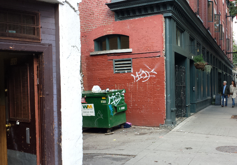
Alley (around the corner from the Hog's Bar)
2015
Alley (around the corner from the Hog's Bar)
[Photo by Andy Sloane, 2014]
Pioneer Place / Pigeon Park, W Hastings
1x03: Road Not Taken
Pioneer Place / Pigeon Park, W Hastings
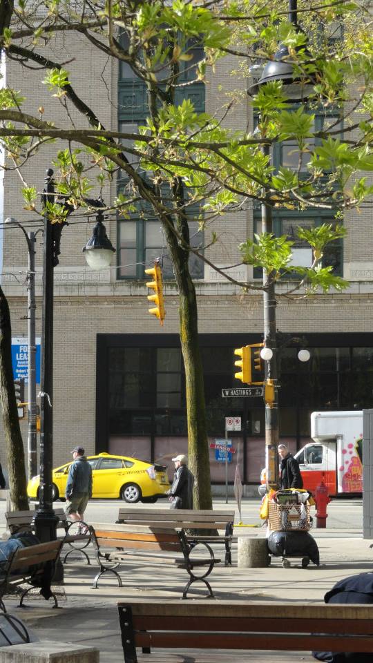
[Photo by Andy Sloane, 2014]
Pioneer Place / Pigeon Park, W Hastings
2x09: Run for Your Life (2)
Pioneer Place / Pigeon Park, W Hastings
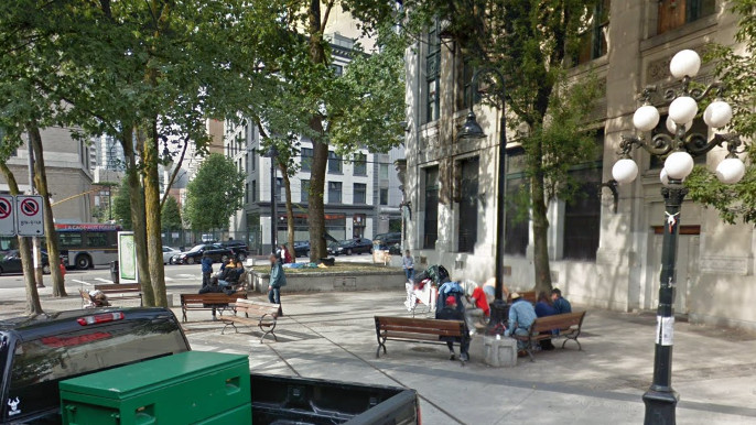
Google streetview, Sep 2011
Pioneer Place / Pigeon Park, W Hastings
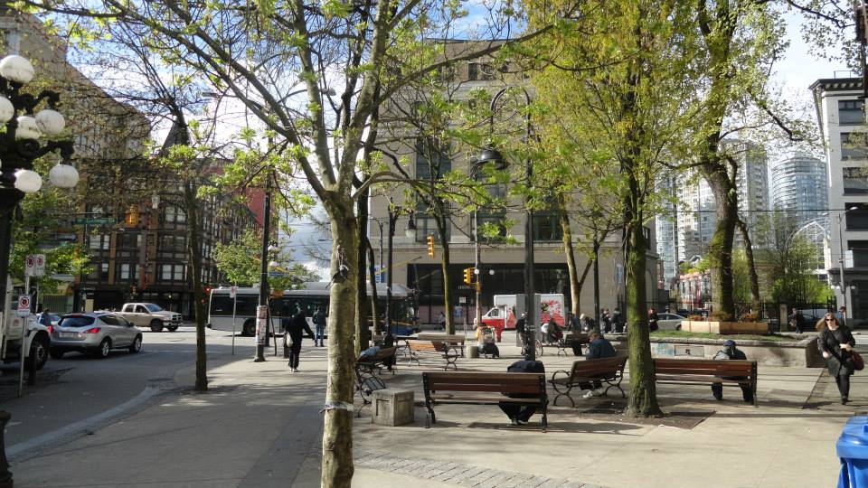
[Photo by Andy Sloane, 2014]
23 W Pender St
1x03: Road Not Taken
23 W Pender St
1x03: Road Not Taken
23 W Pender St
5x04: Glory Days
23 W Pender St
2014
23 W Pender St
2015
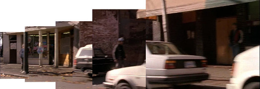
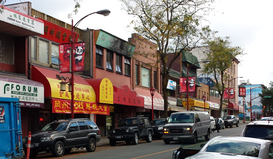
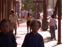
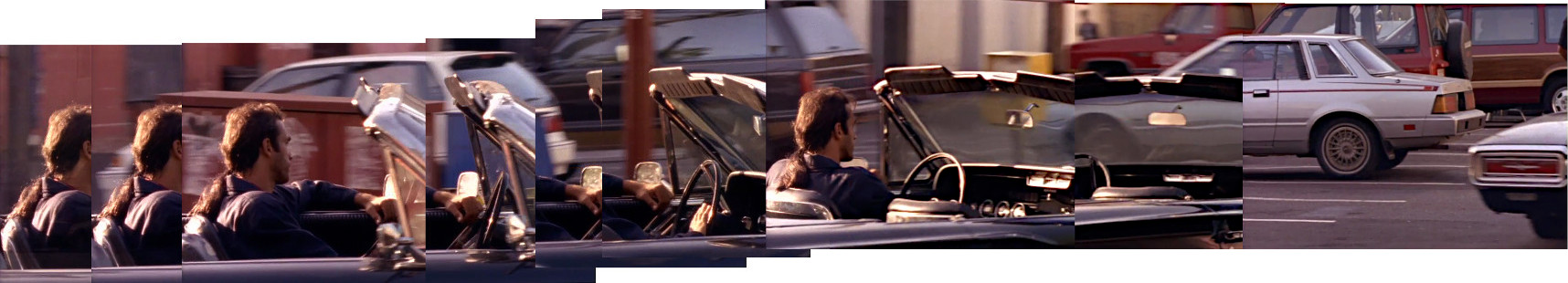
E Pender St between Gore & Main, driving W
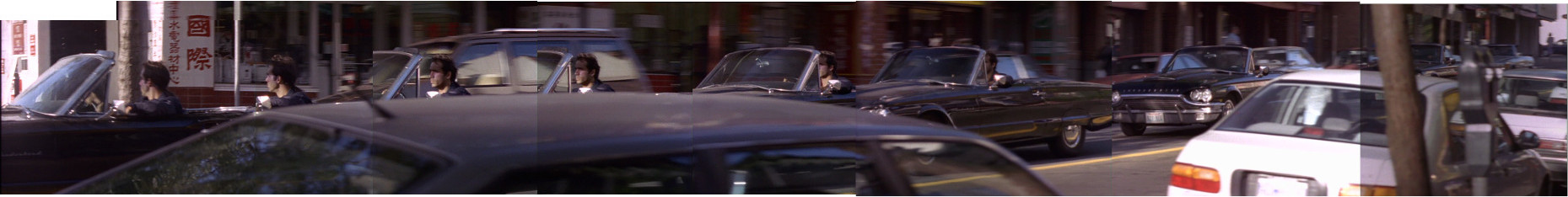
1x03: Road Not Taken
E Pender St between Gore & Main
2015
E Pender St between Gore & Main, driving W
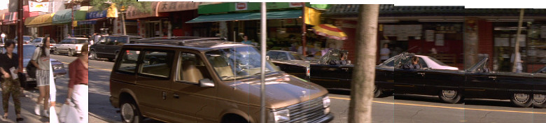
1x03: Road Not Taken
E Pender St between Gore & Main

2015
E Pender St, looking toward Main
1x03: Road Not Taken
E Pender St, looking toward Main
[Photo by Jill Berticus, 2015]
E Pender St, looking toward Main

2015
E Pender St between Columbia & Carrall, driving W
1x03: Road Not Taken
E Pender St between Columbia & Carrall, driving W
1x03: Road Not Taken
E Pender St between Columbia & Carrall

2015
E Pender St between Columbia & Carrall

2015
184 Keefer St
1x03: Road Not Taken
184 Keefer St
Google streetview, May 2012
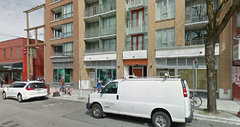
209 E Pender St
1x03: Road Not Taken
209 E Pender St

2015
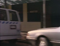
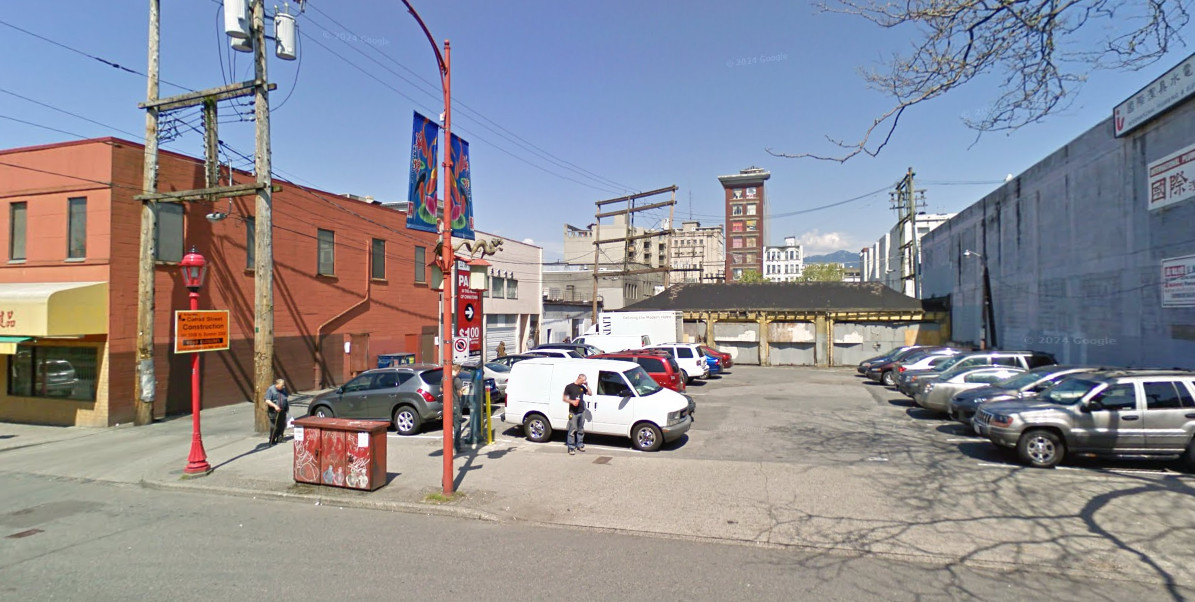
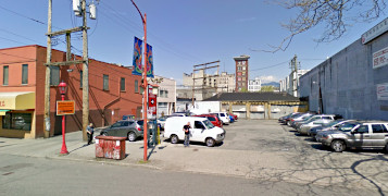
parking lot by 209 E Pender St
1x03: Road Not Taken
parking lot by 209 E Pender St
Google streetview, Apr 2009
new building by 209 E Pender St
Google streetview, May 2017
212 E Georgia St
1x03: Road Not Taken
218 E Georgia St
2015
212 E Georgia St
Google streetview, Apr 2009
Keefer & Main intersection
1x03: Road Not Taken
Keefer & Main intersection

2015
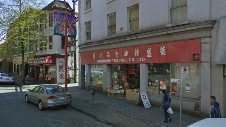
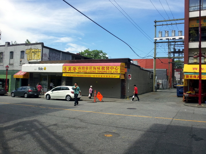
215 Keefer St
1x03: Road Not Taken
215 Keefer St
2014
215 Keefer St

2014
215 Keefer St

2015
Alley near Chinese Garden
1x03: Road Not Taken
Alley near Chinese Garden
1x03: Road Not Taken
Alley near Chinese Garden
2015
 for additional scene screencaps.
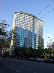 2014
2014
 2014
2014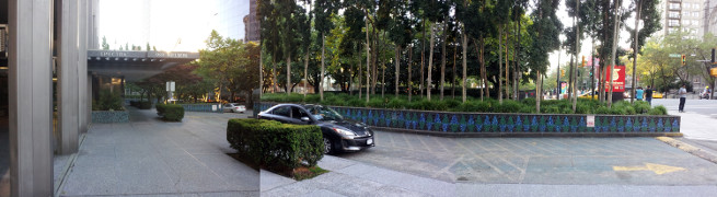 2014
2014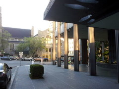 2014
2014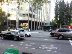 2014
2014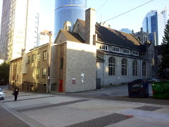 2014
2014 2014
2014 2015
2015 2015
2015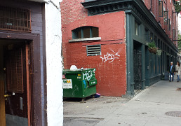 2015
2015 2015
2015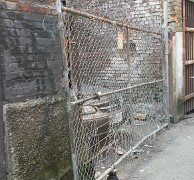 2015
2015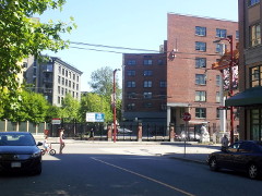 2014
2014 2015
2015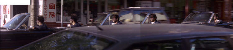
 2015
2015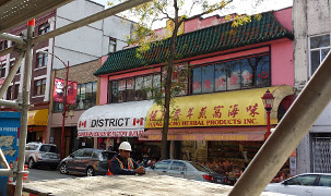 2015
2015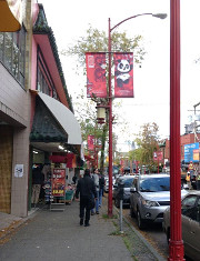 [Photo by Jill Berticus, 2015]
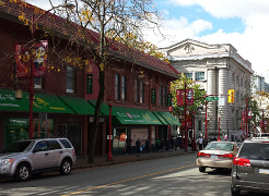 2015
2015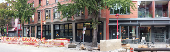 2015
2015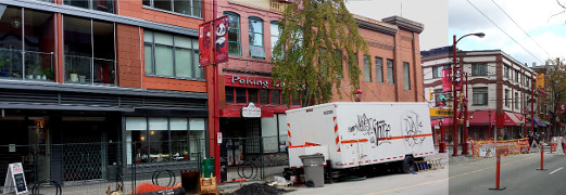 2015
2015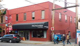 2015
2015
 2015
2015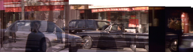
 2015
2015 2014
2014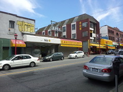 2014
2014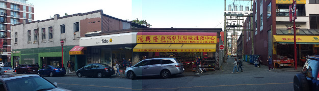 2015
2015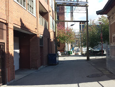 2015
2015