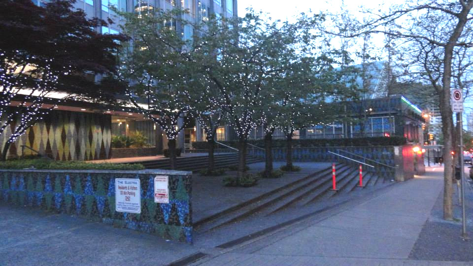
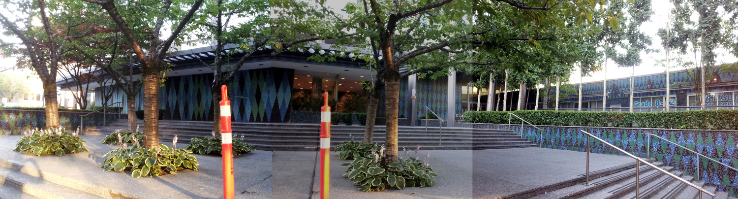
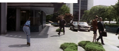
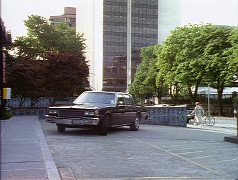
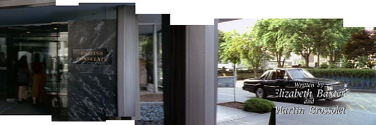
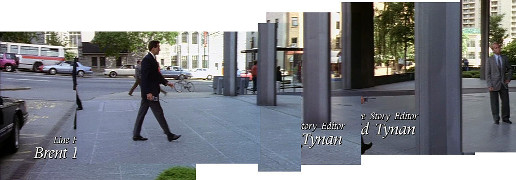
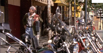
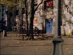
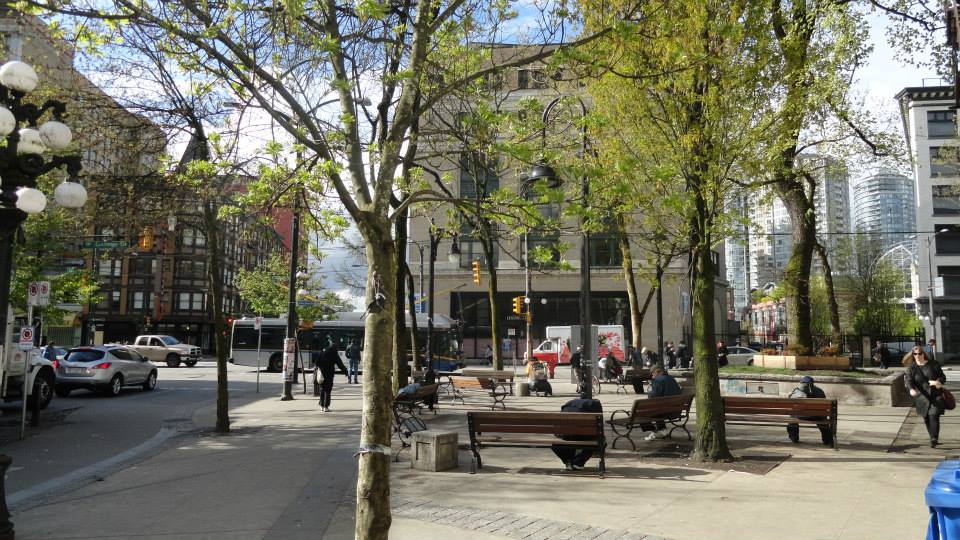
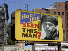
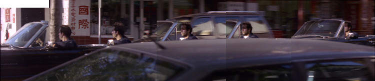
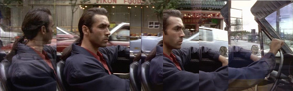
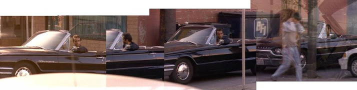
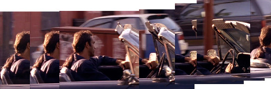
Looking for Kiem Sun
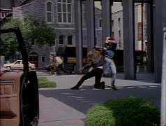
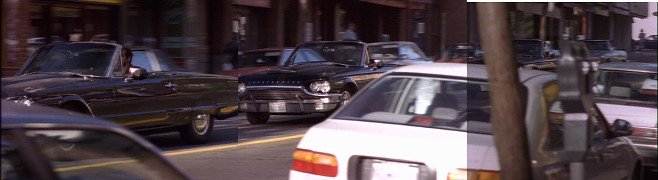
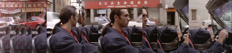
A montage of locations showing Macleod driving around Chinatown.
|
 |

Part 1
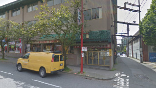
along E Pender St between Gore & Main
[49.28039,-123.098588]
|
Driving west toward Main St.
| Screenshots |
 |
 |
| Pender St |

2015 |
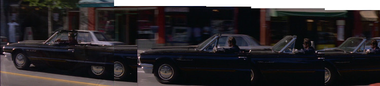
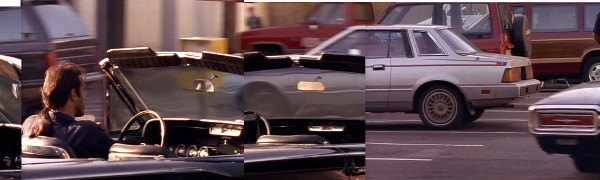
Part 3
along E Pender St between Columbia & Carrall
[49.280502,-123.102944]
|
Driving west toward Carrall.
| Screenshots |
 |
 |
| Pender St |
2015 |
2015 |
| Screenshot |
 |
| Screenshot |
 |
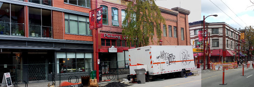
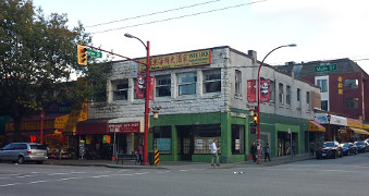
| 209 E Pender St |
2015 |
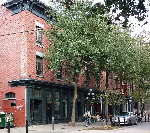
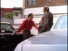
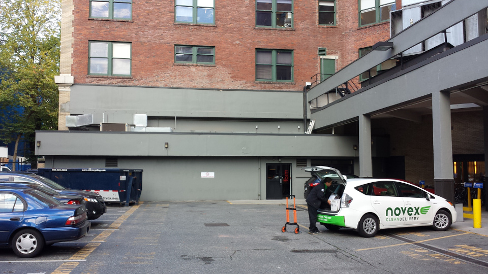
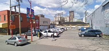
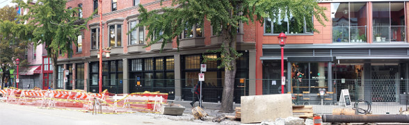
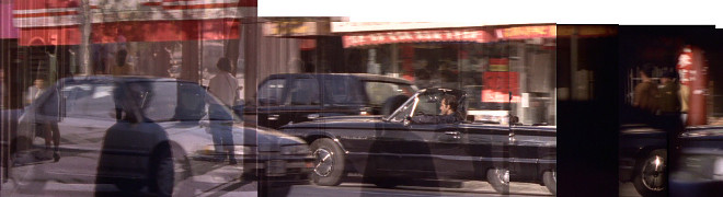
Part 12
parking lot by 209 E Pender St
[49.280427,-123.098740]
(no longer there)
|
| Screenshots |
 |
 |
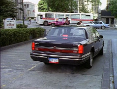
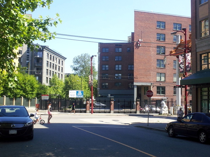
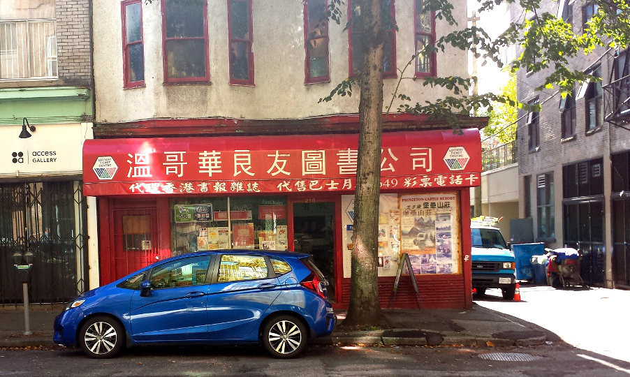
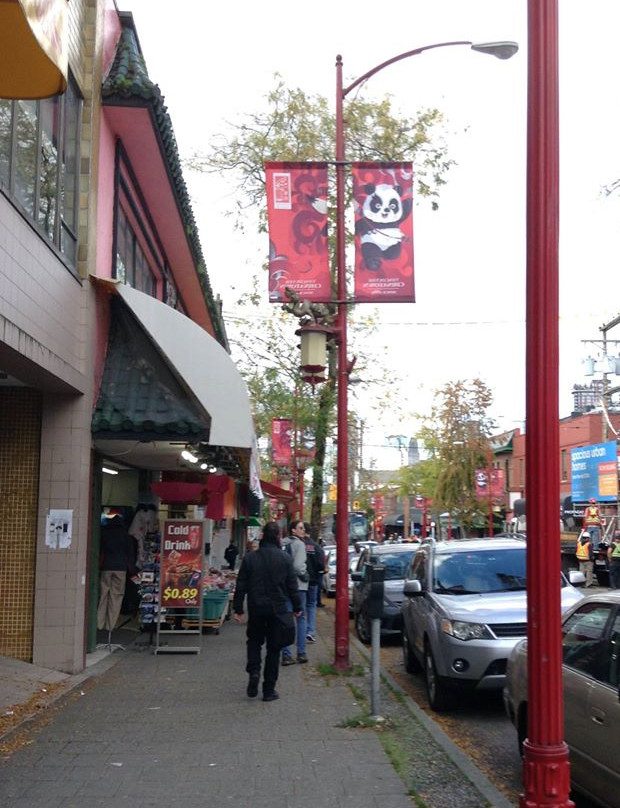
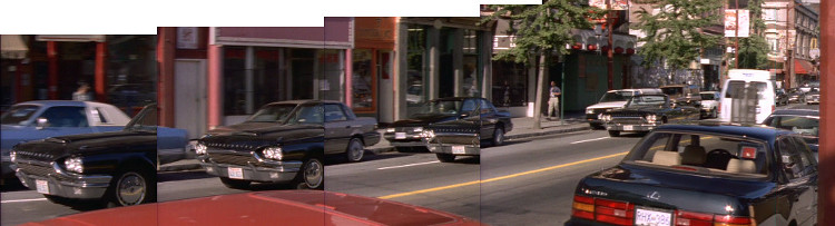
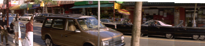
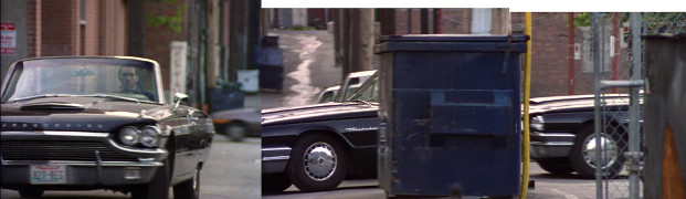
Part 7
along E Pender St between Gore & Main
[49.280292,-123.098524]
|
The same stretch of road as Part 1, except driving east toward Gore this time (past Pt 6: 240 E Pender).
| Screenshot |
 |
| Pender St |
2015 |
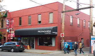
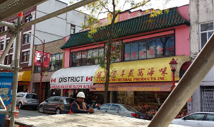
I got a great picture of the building *next* to the Libra Trading Co building. The one that used to be Libra is just visible at a sharp angle on the right side of the street-view photo, between the red lamp post and 'no parking' signs.
| Screenshot |
 |
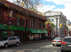
| E Georgia St |

2015 |
2015 |
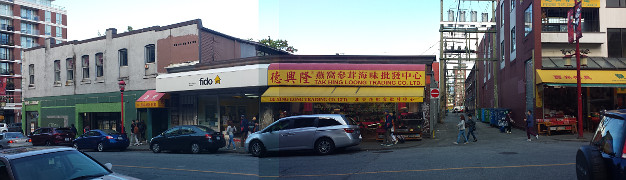
This building is also visible at the end of Part 11. The "Wing On" building is just down the street from this intersection.
| Screenshots |
 |
 |
| Intersection |
2015 |
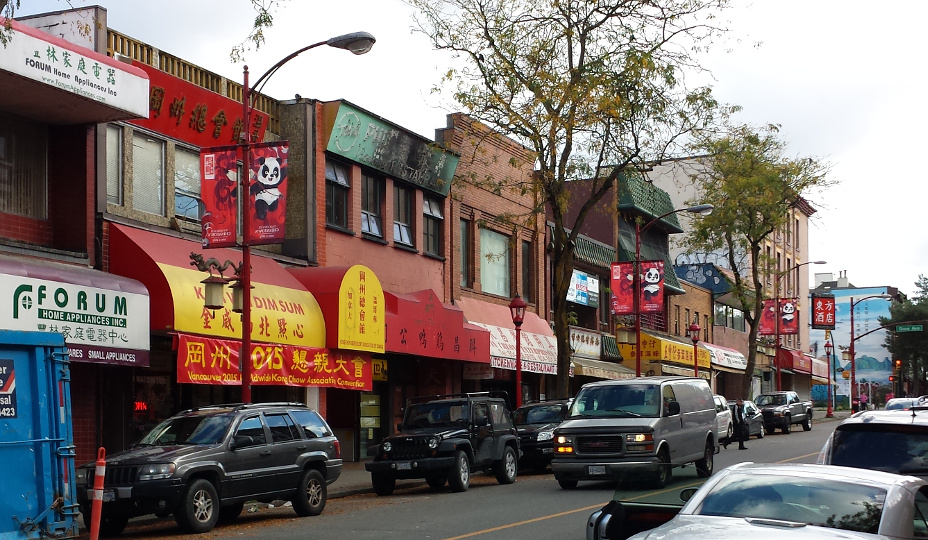
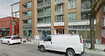
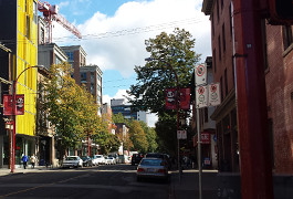
Part 10
E Pender St, looking toward Main
[49.280306,-123.098992]
|
At the end of the street in the screenshot, you can just see the base of the white pillars of the CIBC building at Main and Pender.
| Screenshot | | E Pender |
 |
|
[Photo by Jill Berticus, 2015] |
2015 |
Jill's photo is actually at 250 E Pender, a bit east of the target location (see Part 7).
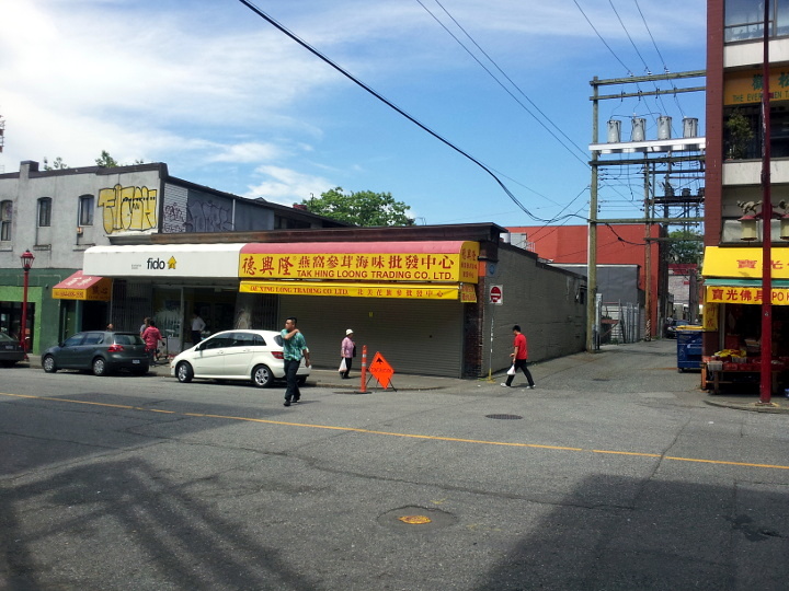
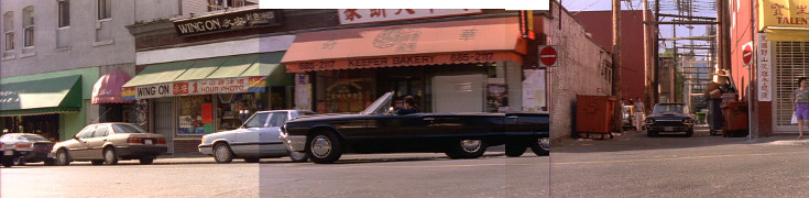
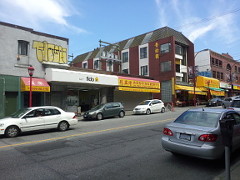
Driving past "Wing On" Photo (now a Fido mobile phone store) toward the Keefer and Main intersection from Part 9.
| Screenshot |
 |
| 215 Keefer St |

2014 |
2014 |
2015 |
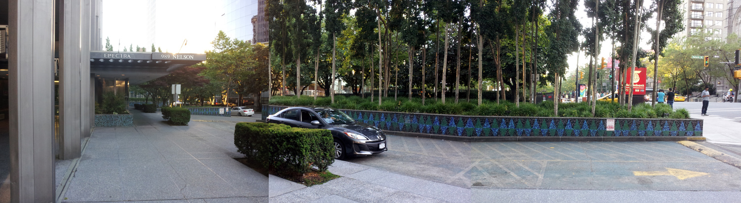
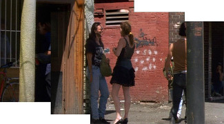
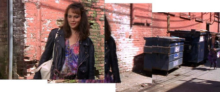
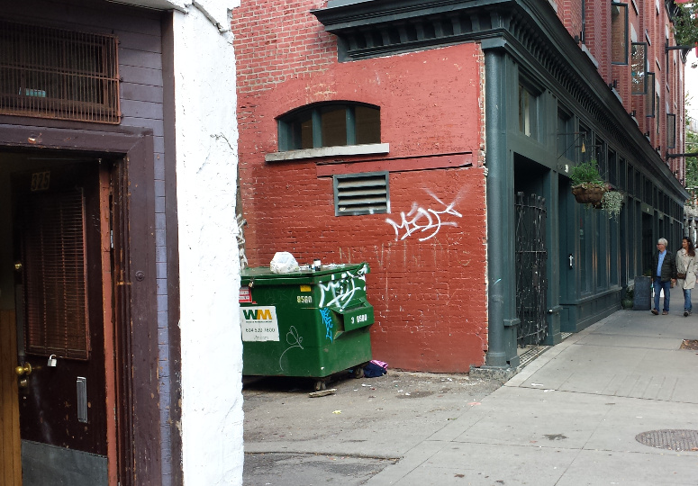
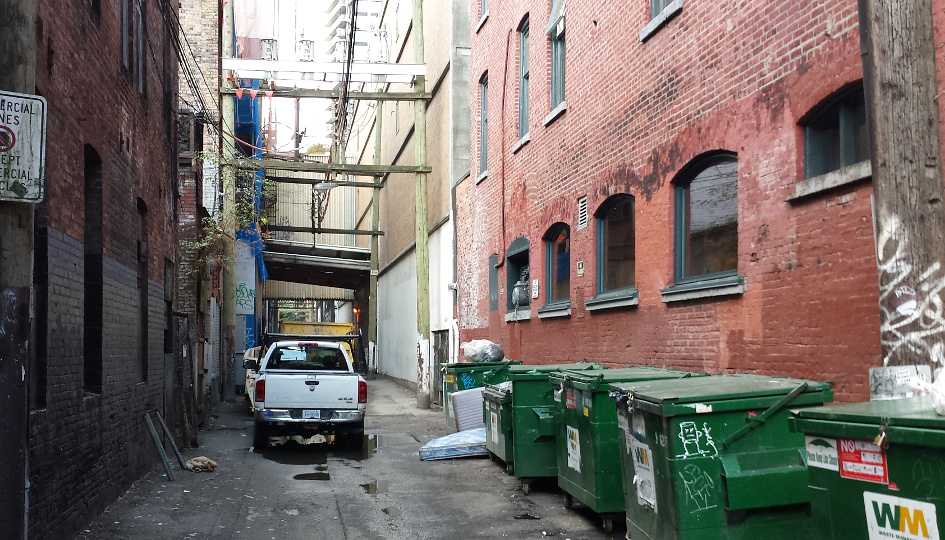
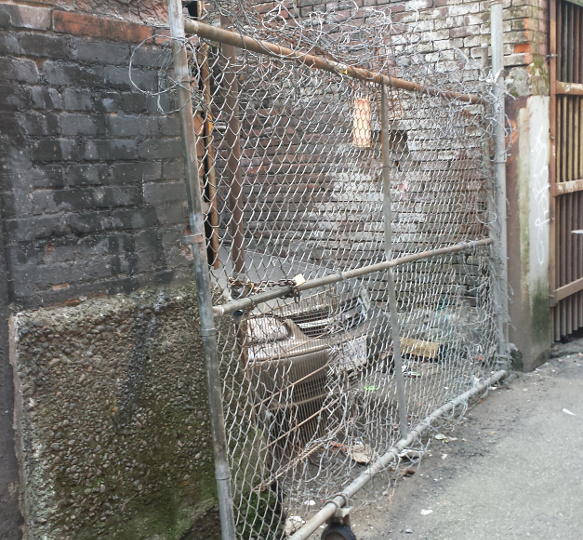
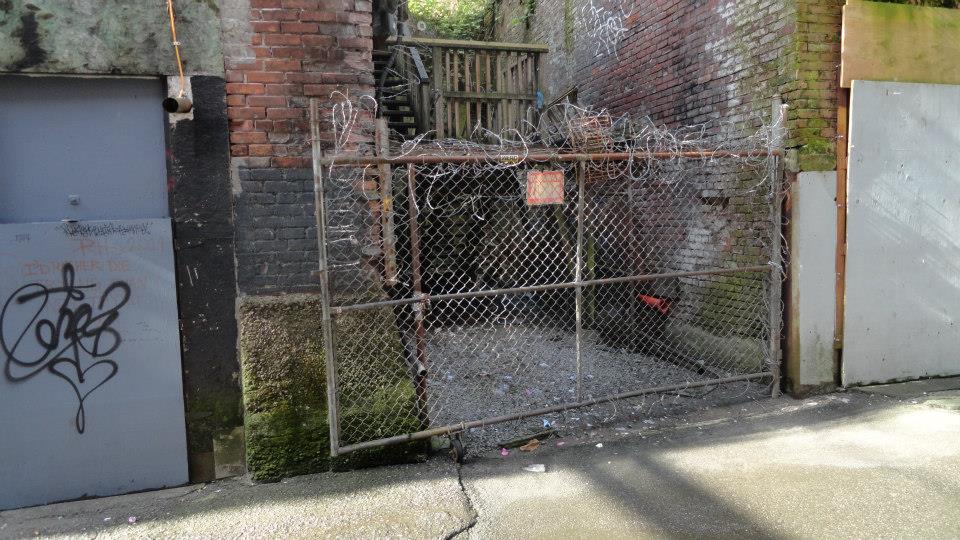
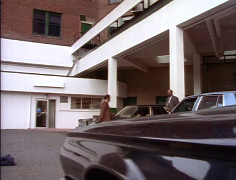
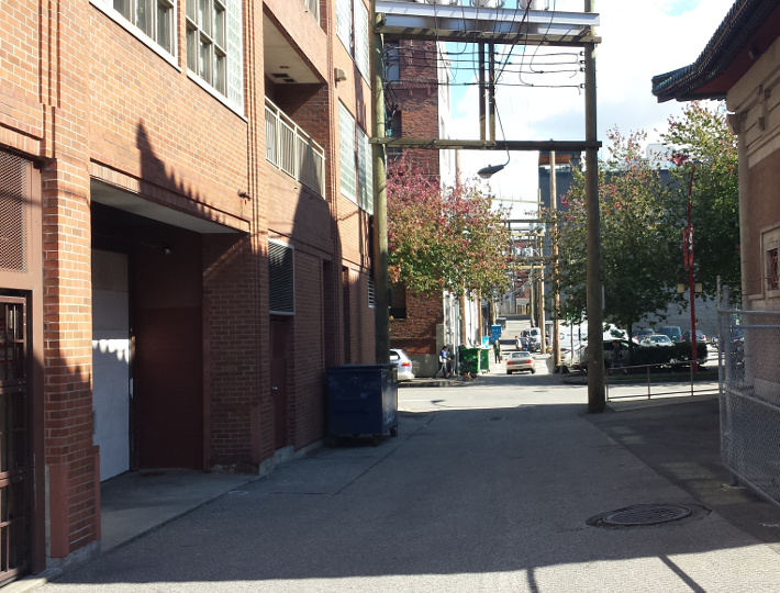
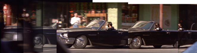
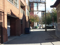
At last, the final portion of the montage, where MacLeod pulls into an alley near Kiem Sun's retreat. Surprisingly, this alley actually is near the Chinese Garden.
| Screenshots |
 |
 |
| Alley |
2015 |
|